


 Italiano
Location helps work when it supports a concrete decision: finding an item, reaching a destination or understanding where a service is concentrated. NIST describes localization and tracking uses (opens in a new tab) in hospitals, factories and personal navigation. The information’s value still depends on its quality and the process using it.
Finding equipment
Section titled “Finding equipment”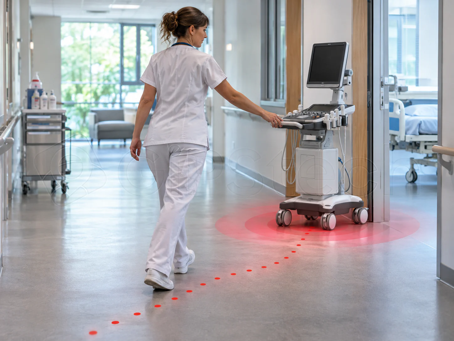
In an imaginary department, a nurse needs a shared pump. Building, floor and zone information may narrow the search; an old update might instead lead to the place from which the item has already moved. Read the indication alongside the observation time and check on site, including the item’s identity and suitability for use.
The outcome to measure is avoided search effort rather than the number of points drawn. Asset tracking distinguishes updated, last known and declared positions: not every search needs the same system.
Reaching a destination
Section titled “Reaching a destination”Orientation needs more than a point on a map: a recognizable destination, usable routes and consistent information about spaces are required. An incorrect floor or an inaccessible door can undermine an accurate horizontal estimate.
For an external technician, for example, the destination is the intervention room, but access may require an escort or permission. Digital guidance does not replace those rules. Maps and signage need maintenance when spaces or accessibility change; trials should include visitors unfamiliar with the building.
Recording a passage
Section titled “Recording a passage”An observation in an area may document that a device was detected at a particular time. By itself, it does not establish who carried it, whether an inspection was performed or whether the outcome was correct. Position errors, devices left in place and incorrect associations are cases to consider.
Checklist traceability also includes the assignment, responses, observations and review. Connecting a position to work may enrich context without automatically making it complete proof of execution or individual presence.
Understanding space usage
Section titled “Understanding space usage”Observations may contribute to aggregate analyses, for example comparisons between areas or distributions over time. A heat map represents collected data according to a method: it is not a certain picture of everyone present. A device does not necessarily equal one person; a lack of observations does not always mean empty space.
Before using analysis to change cleaning frequencies, assess coverage, observed subjects, period and the indicator’s meaning. Protect privacy even when starting with technical information or aggregated results.
The Asset2Work context
Section titled “The Asset2Work context”Asset2Work links assets and locations; the GiPStech page on maps and contextual information (opens in a new tab) introduces the organization of spatial information. Analytics dashboards include tracking-data views by location and heat maps within the configured and enabled scope. Having a definition available does not imply that data and analysis are active in every installation.
The operational reference for Analytics Dashboards is reserved and requires access; it is not required to understand these use cases. Technical detail is available through the Technologies overview.
Assessing the benefit
Section titled “Assessing the benefit”Choose a decision, define minimum data quality and compare a representative case before and after introduction. Record failed searches, outdated information and exceptions as well as favorable cases. If the information does not change a decision or needs excessive upkeep, increasing accuracy may not be the useful answer.